10:00 AM EST - my forecast earlier saying two cm, looks like a bust, cause right now there is 4-5 cm fallen in Toronto and the heaviest band is still yet to move in. TWN and its 10cm can be thrown out the window.
9:49 AM EST- really starting to get heavy, looks like we are not gonna get dry slotted either.

8:30 AM EST- snow starting to pick up in intensity just I am about to leave schoolo "perfect" timing
7:40 AM EST- snow starting in Toronto, should pick up in intensity very soon
6:40 AM EST- snow being reported in Hamilton, Toronto still an hour away
6:10 AM EST - first precip band approaching Toronto, 1-2 hour away,

2:00 AM EST - storm is now at the edge of Southern Ontario

Thursday
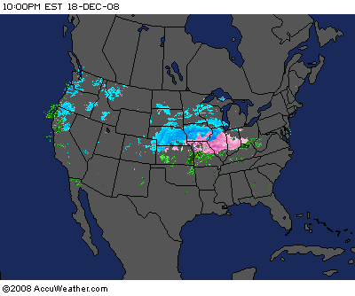
10:00 PM EST- storm continues to develop, very fun to watch

9:20 PM EST - NAM trended further south than the 18z, which is pretty much expected and no surprise, all the forecasts is still right on track. GFS is the last model I'm gonna use for this storm.
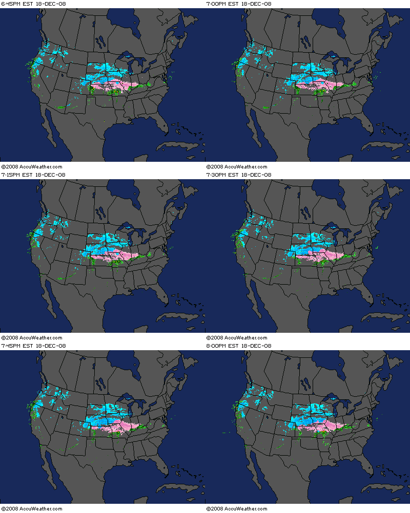
8:00 PM EST - storm is exploding right off Colorado into the US midwest, it is really fun to see this beast develops. I will post a large radar image every 2 hours for the next 4 frames(10:00pm, 12:00pm, 2:00am and 4:00am) which the first shield of precip should move into Southern Ontario. I might post some updates on the models or others in between.

No comments:
Post a Comment